
Imagine getting off the Metro on a hot Dubai afternoon. The building you’re heading to is close enough to see. But can you tell where to cross, and where you’ll find the entrance? What looked like a short walk on the map starts to feel like a different journey.
I use Burj Azizi to look at that gap. Its architects, AE7, describe a planned 725-metre tower with homes, a hotel, shops and visitor attractions. There is already a World Trade Center station on the Metro Red Line. The interesting question for me is not how high the tower will go. It’s what happens between the station exit and the front door.
Start at the station exit
A resident coming home, someone starting a hotel shift and a first-time visitor may all get off at the same station. But they won’t necessarily be looking for the same door. Before fixing an entrance on the ground-floor plan, I would trace each of those journeys from the station exit. Can you see where to go without already knowing the area? Is the most direct route also step-free?
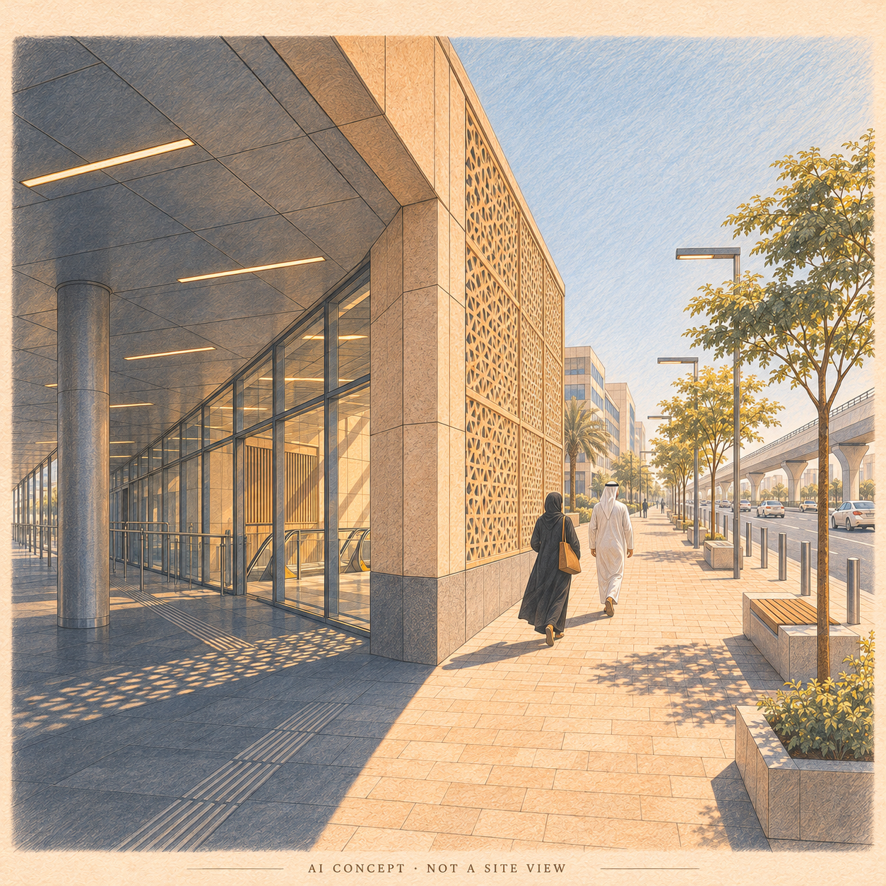
Count the time you stand still
A short route can ask a lot of the person walking it. A crossing might add only a few metres, but it also adds time standing still. On a hot afternoon, I’d look at whether there is shade where people actually wait, not just along the pavement between crossings.
That’s an easy thing to miss on a drawing. Time the whole walk, including the waits. Then note where the route loses shade, where the pavement drops and whether someone using a wheelchair has to take a different route. The goal isn’t to produce a single walkability score. It’s to find the point that makes the trip harder than it needs to be.
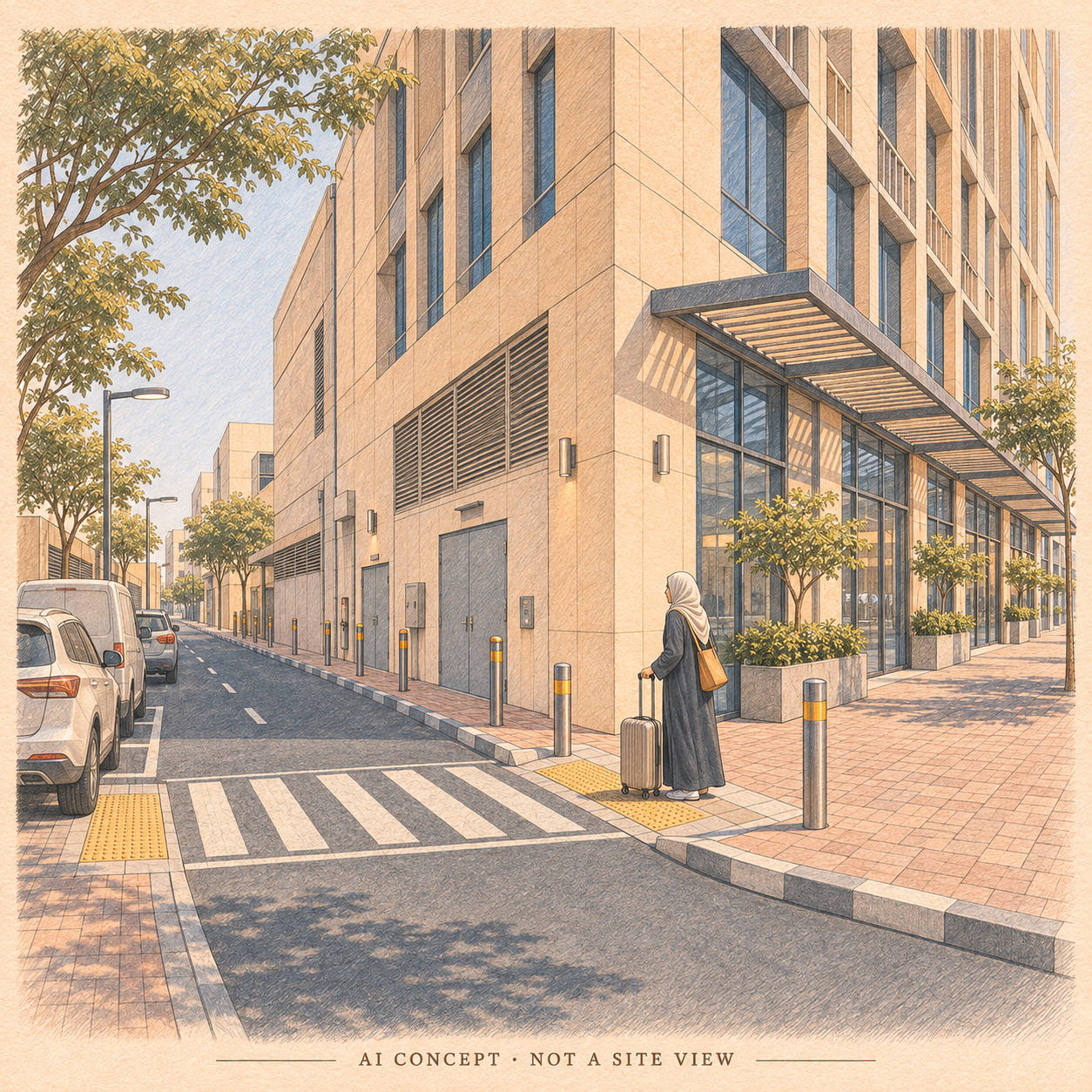
Walk all the way to the door
It’s possible to get the public pavement right and still lose the route at the building. A generous drop-off may work well for someone in a car. Someone arriving on foot should not have to weave through that same space just to reach the lobby. Looking at the journey early may change where we put the entrance, not just where we add a sign.
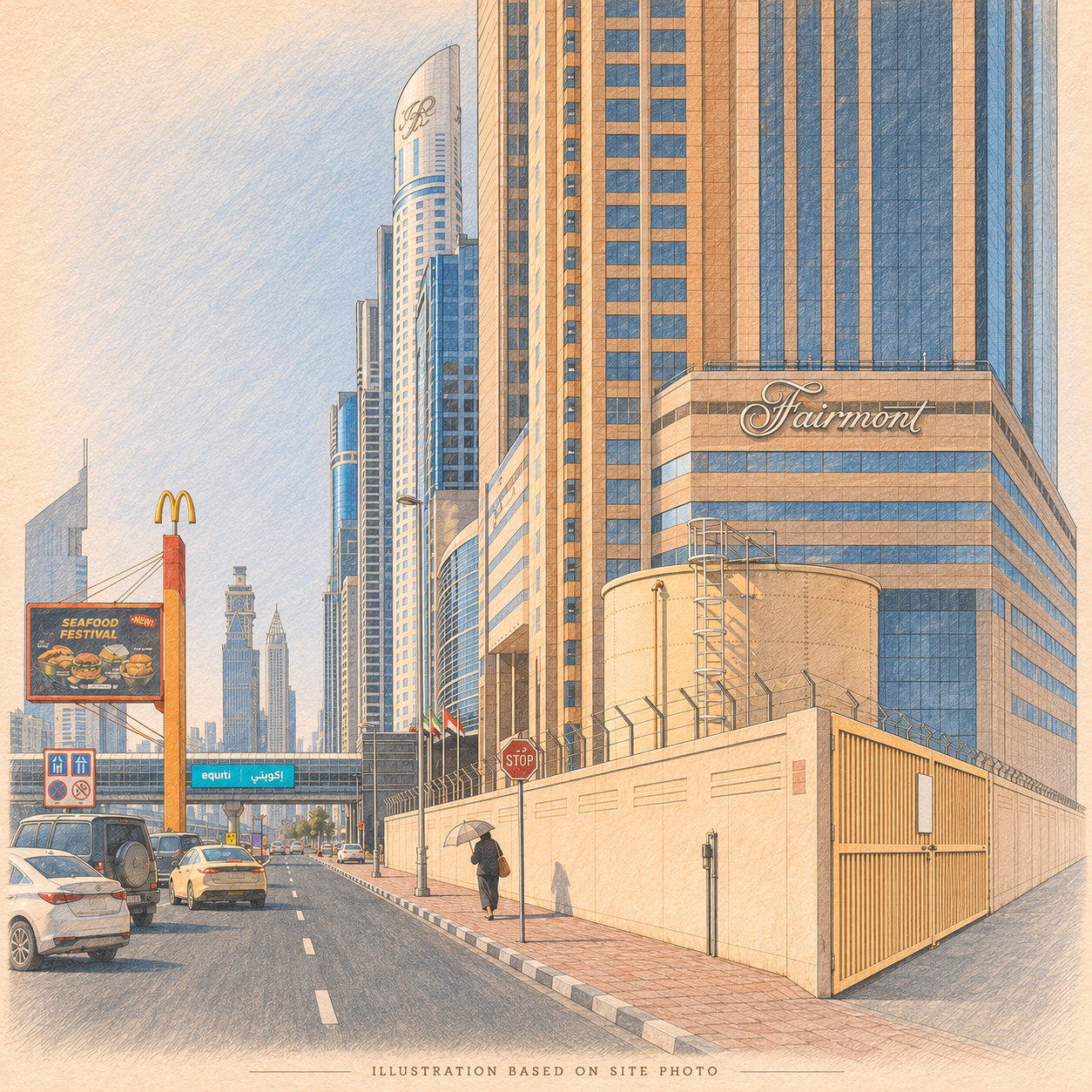
RTA’s World Trade Centre roundabout project addresses vehicle movement through the junction. That work and the pedestrian connection answer different questions. Better traffic flow on a bridge does not tell us what it feels like to walk to a building at street level.
Design the walk as one route
This is the idea behind my Masari Walk proposal: connect stations, buildings and public spaces with routes people can use comfortably. It’s a proposal, not an approved project. Sometimes a shaded crossing or a better-placed entrance may do more for a particular trip than an elaborate new connection. The place to start is the walk itself.
To me, that’s Design Beyond Form. The building doesn’t begin when someone reaches the lobby. For the person arriving by Metro, the experience starts when they step out of the station.
Watch the Design Beyond Form video
Related Picks
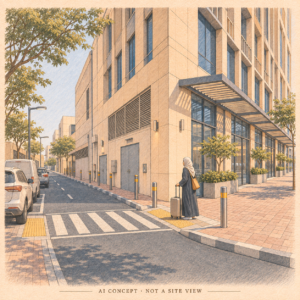
Two free design resources for looking at the route from the station to the door. The thumbnails are concept illustrations from this article.
ITDP’s TOD Standard: Walk
Check whether footways, crossings and shade make a route to transit usable.
Global Street Design Guide: Pedestrian Toolbox
Explore ways to improve crossings, curb ramps and shade at street level.
Related Articles
The Shops Are Close. Why Does the Walk Still Feel Difficult?
What a short trip to the shops can teach us about the quality of the walk.
Oxford Street Is Making Room for Walking. Dubai Can Find Its Own Way.
How a street can give walking more room while still considering access.